Home › Forums › 20th Century › Old Bridge Tavern › Reply To: Old Bridge Tavern
I have nothing to base this guess on, but I wonder if the blocky looking building that replaced The Old Bridge Tavern might have been temporary offices for The Marble Hill Houses, or the construction company building them.
I don’t know when the playground was opened, but Tieck mentions it in 1964, in what looks like an earlier draft of several chapters of his 1968 book. (Link is to a Fulton Search PDF of The Riverdale Press 4/2/64)
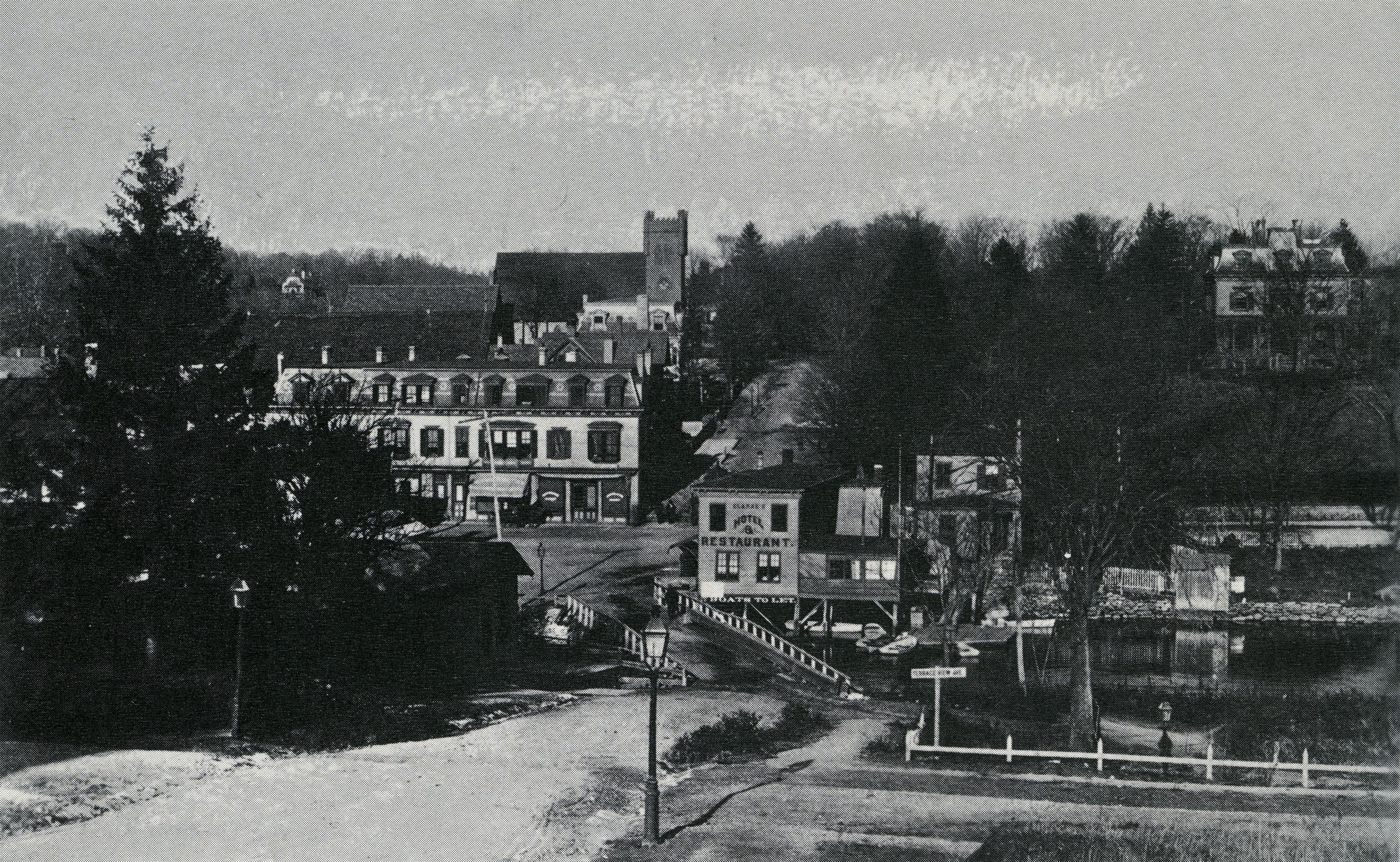
In 1964, Tieck says “…torn down in 1949 to make way for the present playground. At the time of its demolition the comer structure was well-known as the Old Bridge Tavern and was something of a landmark.”
He also describes how The distinctive mansard roof shape of the tavern was actually part of a larger building and was moved from across the street after most of the area was destroyed by fire in 1903.
I had not known this wonderful tidbit of info until this thread. It explains some older pics that show the distinctive mansard roof at the site of the phone company building, not adjacent to The Kings Bridge, like this one from Tieck’s book.
I HAD heard (and mentioned in another thread at some point) that the other building that occupied the phone company site (peaking out between the mansard roof and St Johns,) was moved one block south and rotated 180 degrees to where it apparently still stands at 3014 Godwin Terrace. Tieck seems to mention this in passing, but doesn’t add specifics. I learned this from a facebook post from someone who had grown up at 3014 Godwin.
So, Tieck gives us a history of the building that housed the tavern from the 1800s to 1949, and by 1964 mentions the playground.
There is a blocky looking building there in January of 1951, but at most 15 years later it is gone, and is not mentioned.
Here are the 1940s tax photos of the area
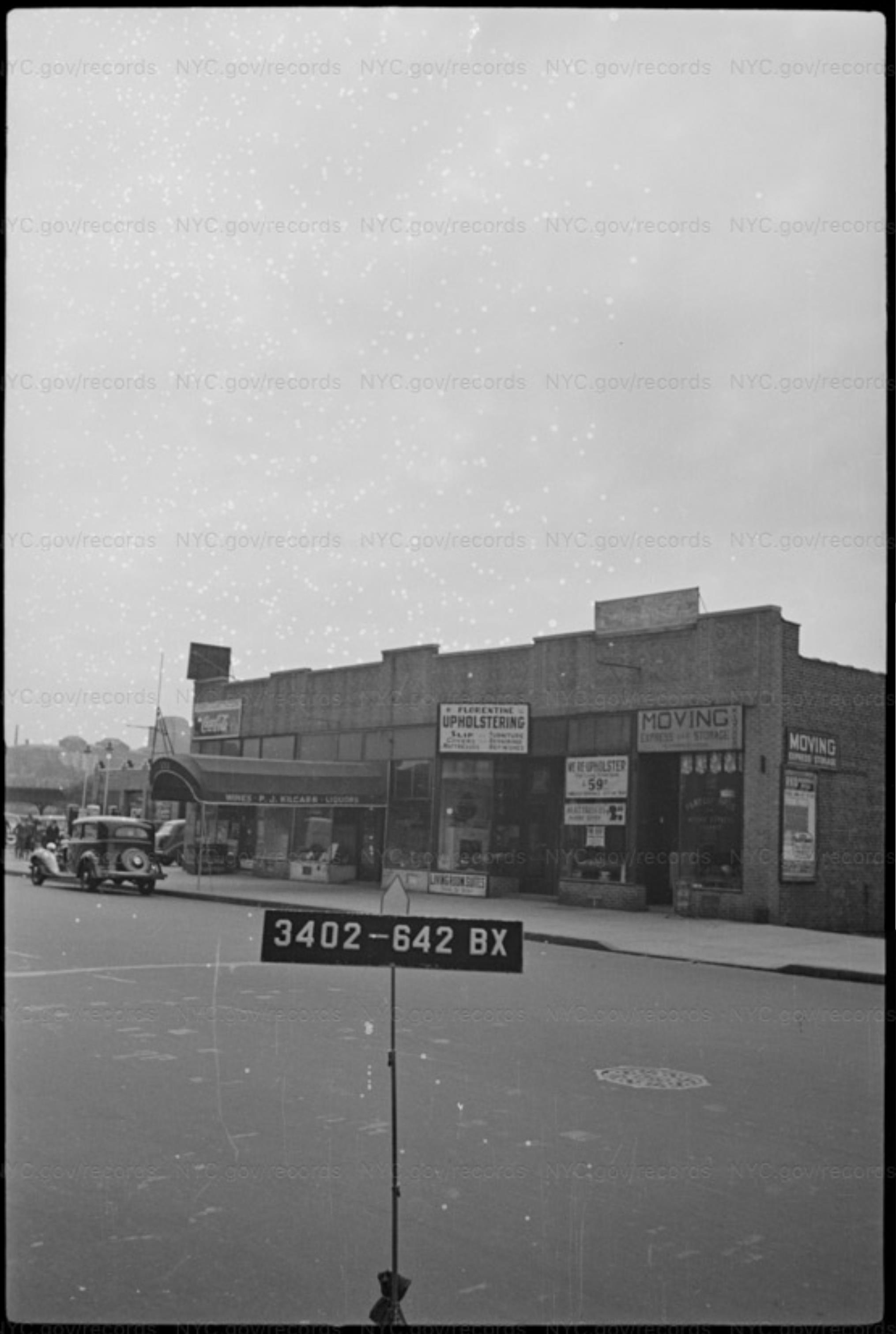
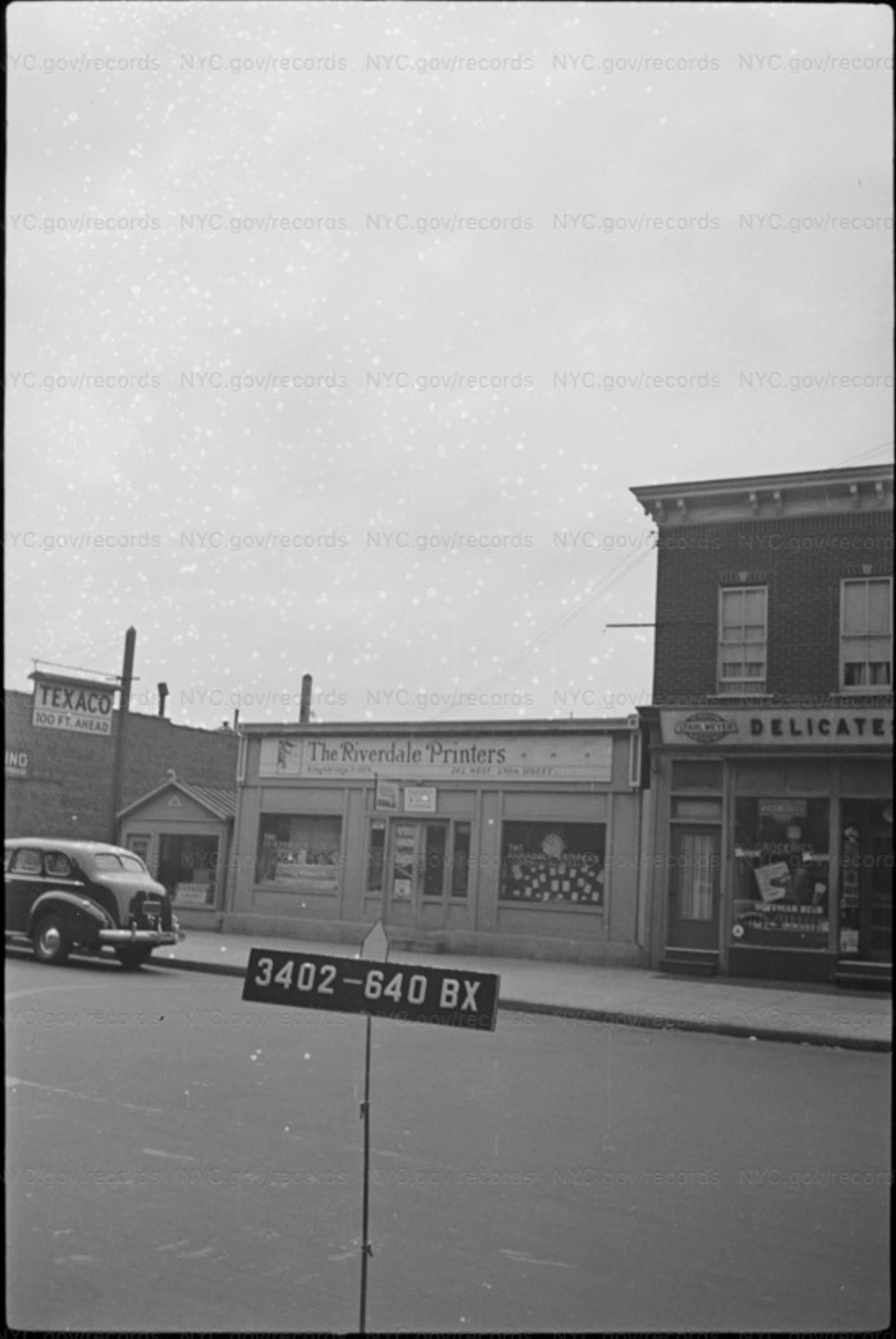
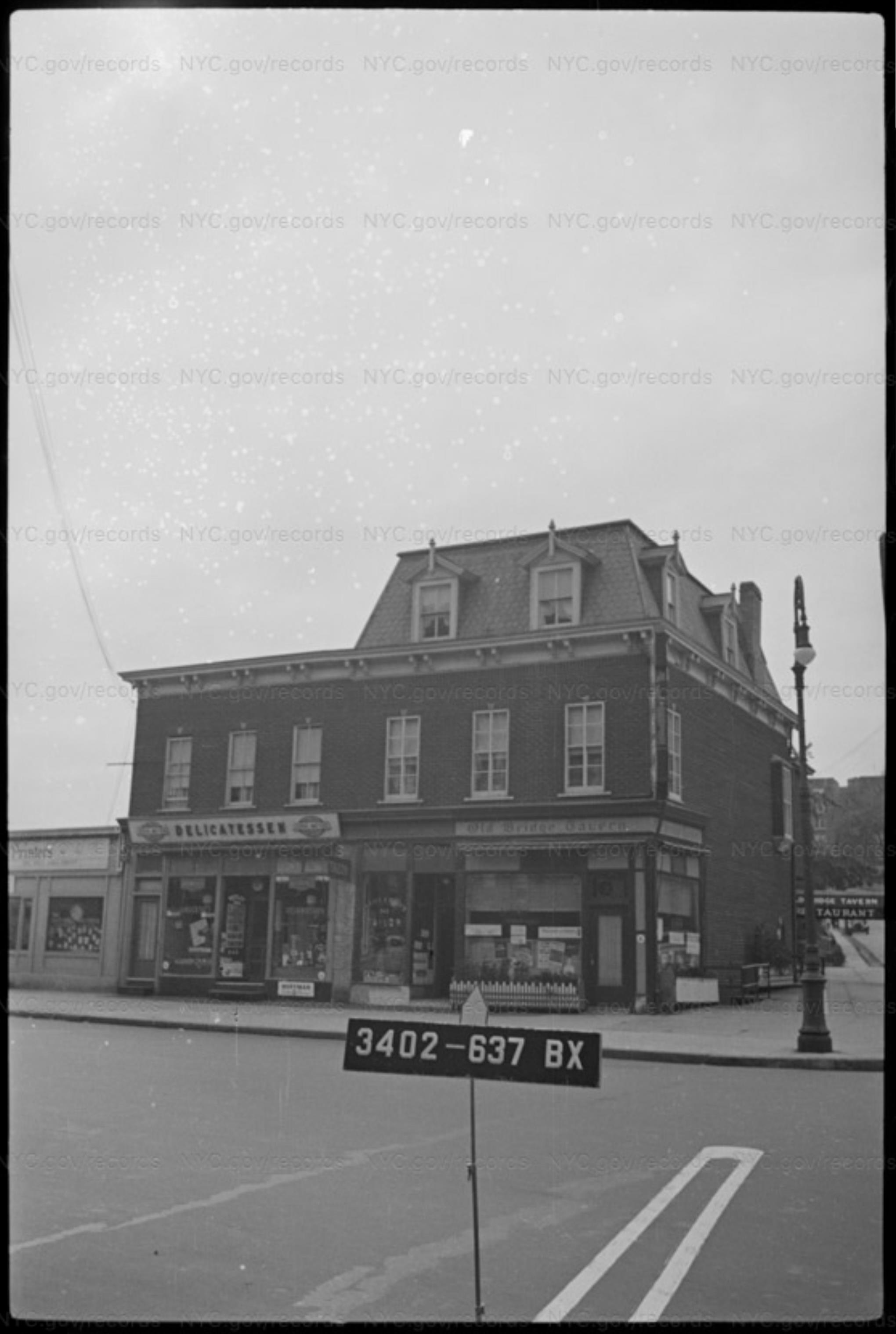
The middle building seems to already be reduced to rubble by the time of the OP ca 1949. The one on the left is still there in 1951. The skylights show up in both the OP and the 1951 aerial view.
All of this combines to make me think the blocky looking building was temporary, and leads to my guess about it being the office. Just a guess though.
I love the RCSA photo designation. I try to keep text files of links to photos, so I don’t usually find RCSA photos on my hard drive. My bane is SISBCRW, Seen It Somewhere But Can’t remember Where, when I remember a photo I’ve seen but can’t remember what archive I was perusing or what I was searching for and can’t find it again.