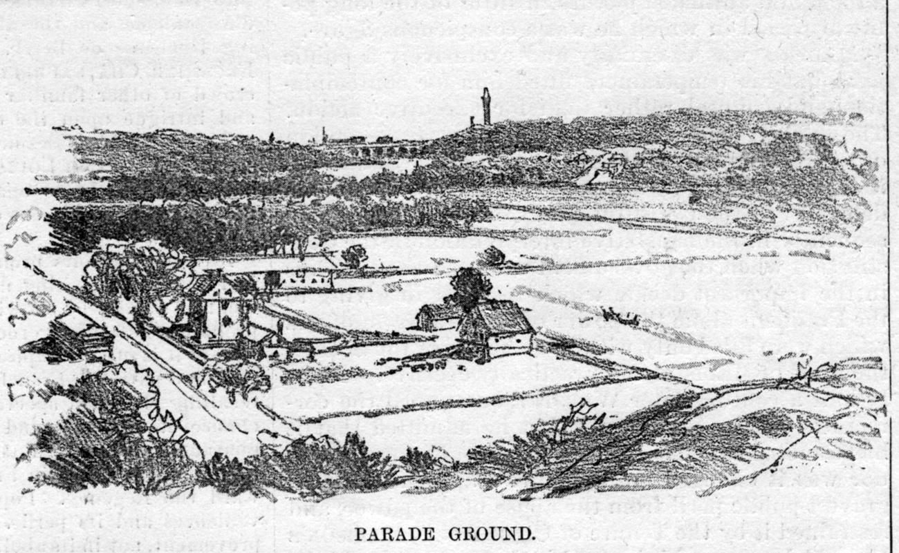
Tom Casey pointed out this section of a Harper’s Weekly print from 1884 showing the parade ground in Van Cortlandt Park.
It seems to me that the view is looking to the south from Vault hill because that looks like the Croton Aqueduct Bridge and tower center top. Before Tom pointed it out, I did not realize there were so many buildings in that part of the parade ground.
Every time I see a photo or drawing of a Bronx scene, I try to confirm with maps or other sources. For the parade grounds and Burial grounds I am now searching for maps and photos. Hope I get lucky.
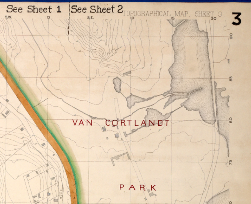
[caption id="" align="alignnone" width="811"] 1873 Topo map Van cortlandt mansion to the south[/caption]
I can see the VC Mansion in the second map. But what intrigues me are not only the other buildings in the upper map#3 but the rather large ponds or lakes shown in the middle of today’s Parade ground in map #3 . You can see Turtle Brook coming down between Vault and present day Broadway but these ponds are new to me. I am wondering if these building are not only houses, out buildings and barns but perhaps also used to store Ice? There is a rather long structure that looks like a half bracket or a capital E going east and west below the buildings and ponds and north of the Mansion.
.
 1873 Topo map Van cortlandt mansion to the south[/caption]
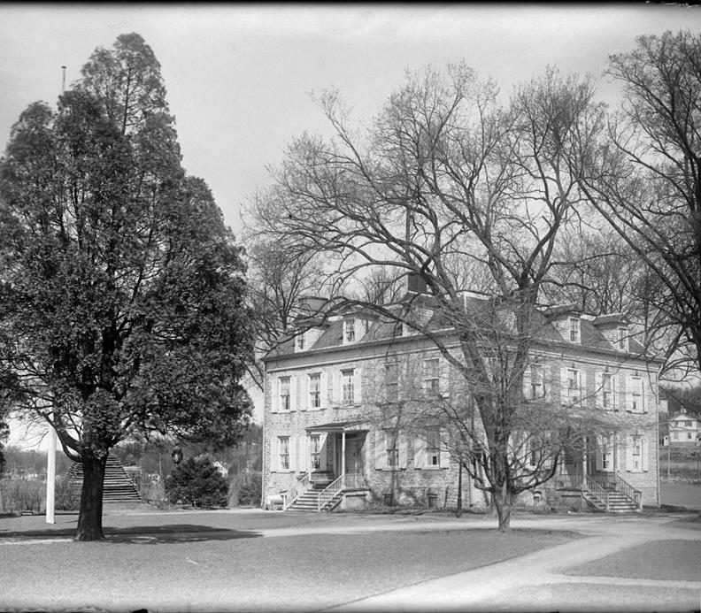
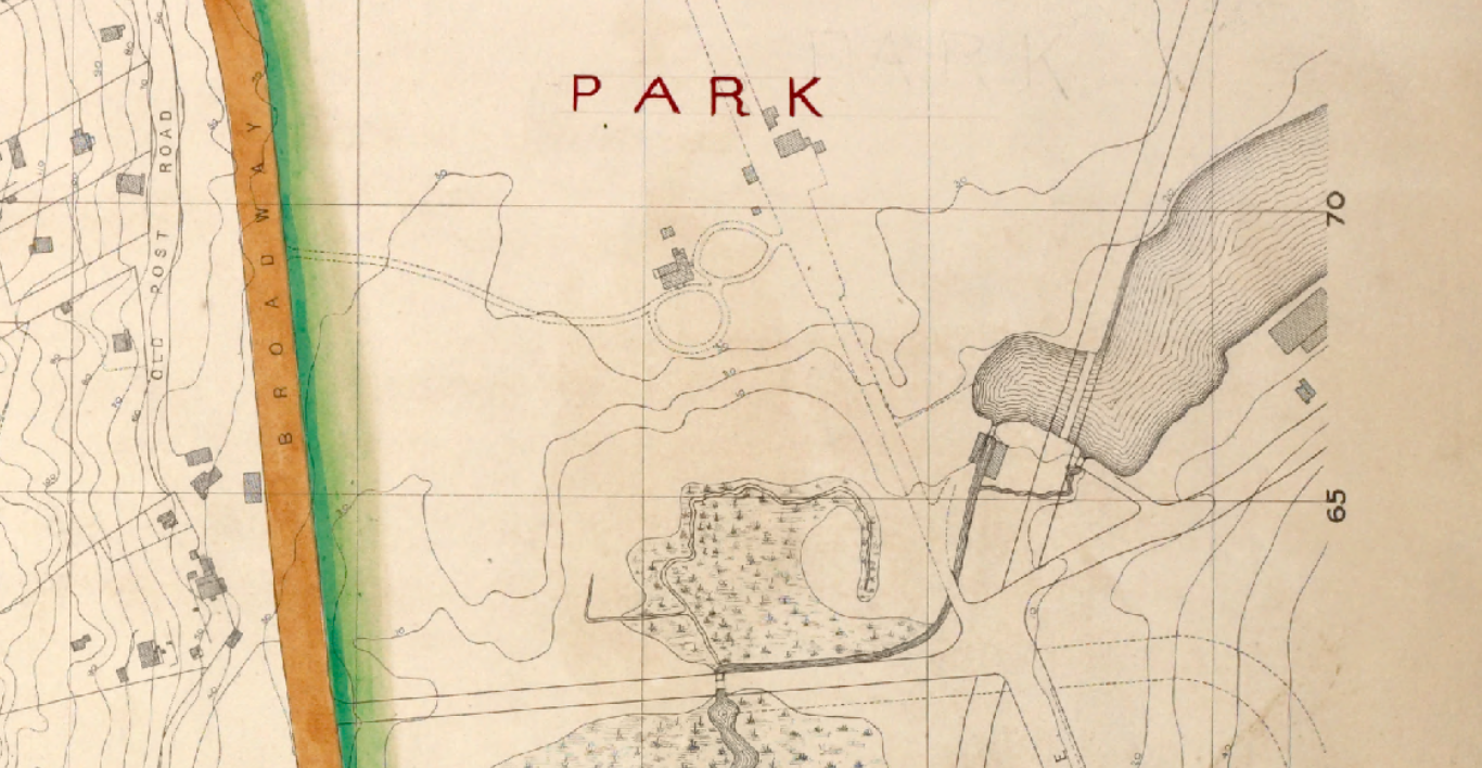 Van Cortlandt mansion and out buildings