Just a couple years after the founding of the Kingsbridge Historical Society, the group pondered a question and used it as a way to attract interest in the new organization in lofty terms:
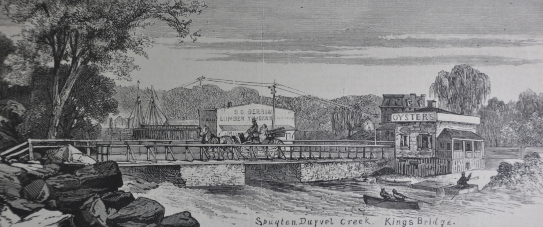
To address the question of Berrian’s sloop, the Spuyten Duyvil Creek west of the King’s Bridge would have been navigable for sloops. As a reminder, the King’s Bridge was located at the intersection of today’s W. 230th St. and Kingsbridge Ave. In the below 1873 Harper’s print, you can see the masts of a ship just beyond S.C. Berrian’s lumber yard:
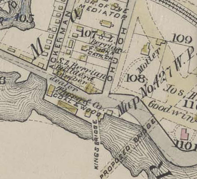
Here is the same spot in the center of an 1885 map–note “S.L. Berrian Builder & Lumber” by the King’s Bridge:
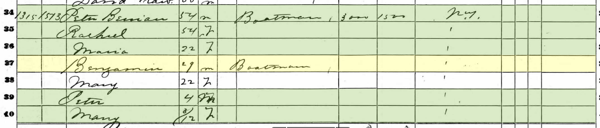
So is that ship in the 1873 print Captain Berrian’s sloop? Who knows but Benjamin Berrian does appear in the local census for 1860 and is listed as a “boatman:”
.
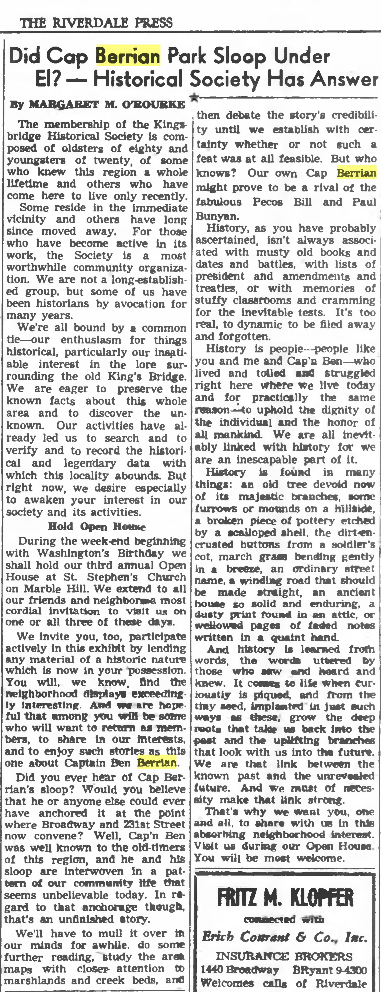 February, 1952 Riverdale Press[/caption]