Forum Replies Created
-
AuthorPosts
-
December 12, 2023 at 3:01 pm in reply to: Minnie Babcock, a Victorian house, and social life in “Riverdale-on-Hudson” #3812
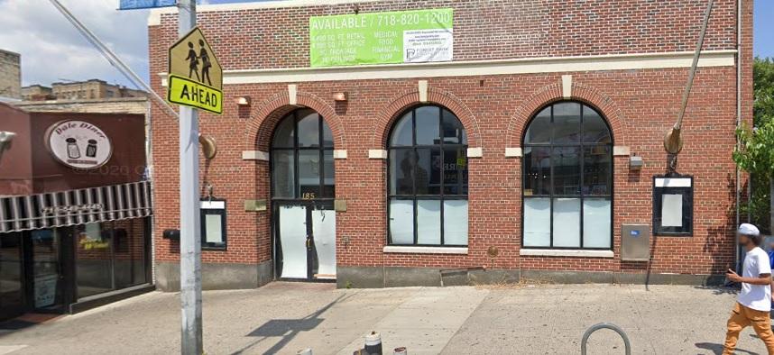
The
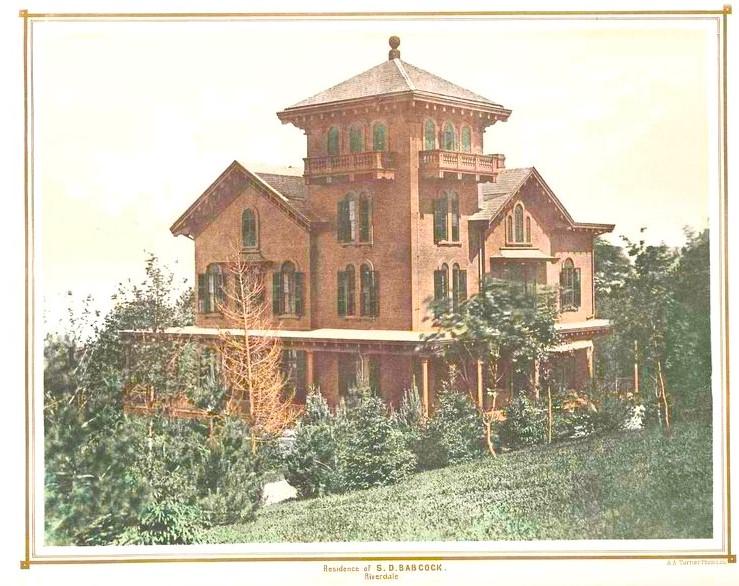 has lost its architectural beauty many years ago.
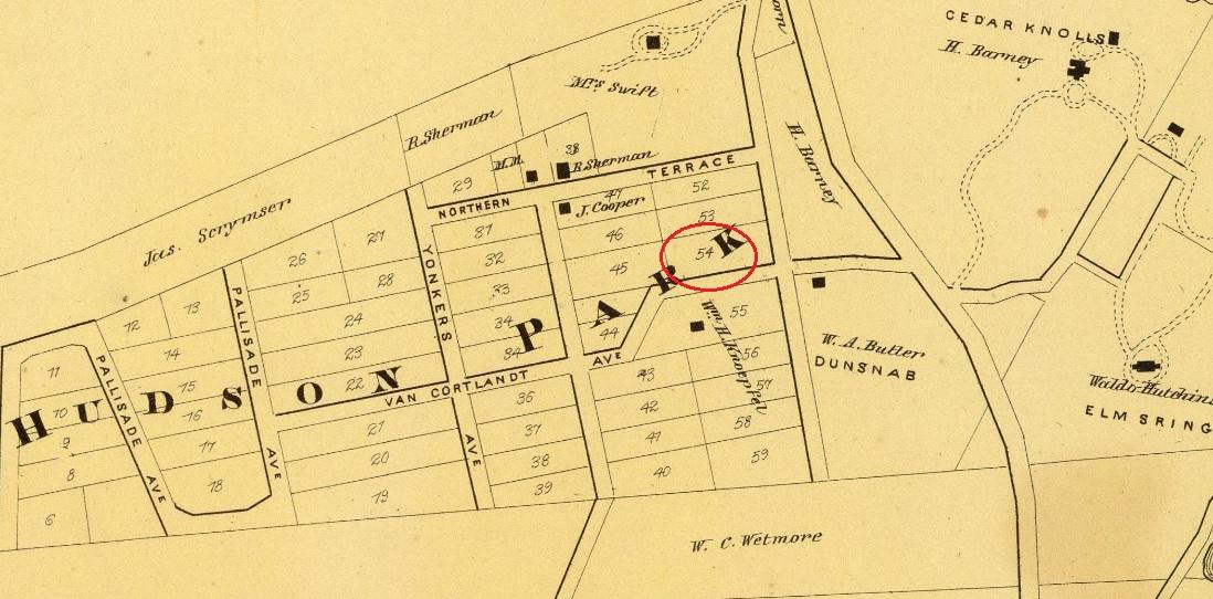
the original survey maps, that I found at the Huntington Free Library, 9 Westchester Square. ( read above)
The red circle is the location the HFL intersection of property lines and the location of a granite monument. It is in fact labeled ” Monument “
It is great when you have any of the original survey maps, that I found at the Huntington Free Library, 9 Westchester Square. We also wondered what that granite block was that we uncovered on our property. Back in 1880 when the executors of the Van Schaick Estate ( his will ordered a Library built to honor his predeceased wife ) were assembling the various lots to be purchased from the Adee Estate, the monument is labeled on the lot line corner. When I find the picture of the monument buried in the ground, just like the others,
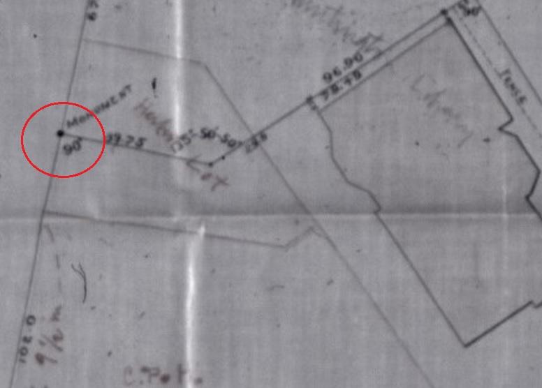 I will post it.
Plate No. 52, Part of Ward 24, E. Belcher Hyde Map 1901 – MARKER J. D. ( Joseph Delafield )
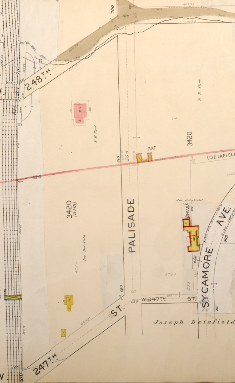
If you are walking North up Palisades Ave, you can enter Riverdale Park at W.247th Street. As you continue walking north and 1 block before you can see the turn going up the hill on Spalding Lane, you will find a Marker that is not a Mystery. Jim Vogt sent me the “Mystery Marker” image.
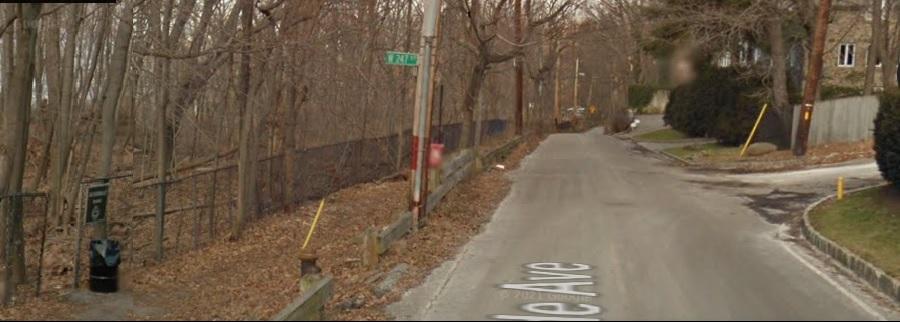
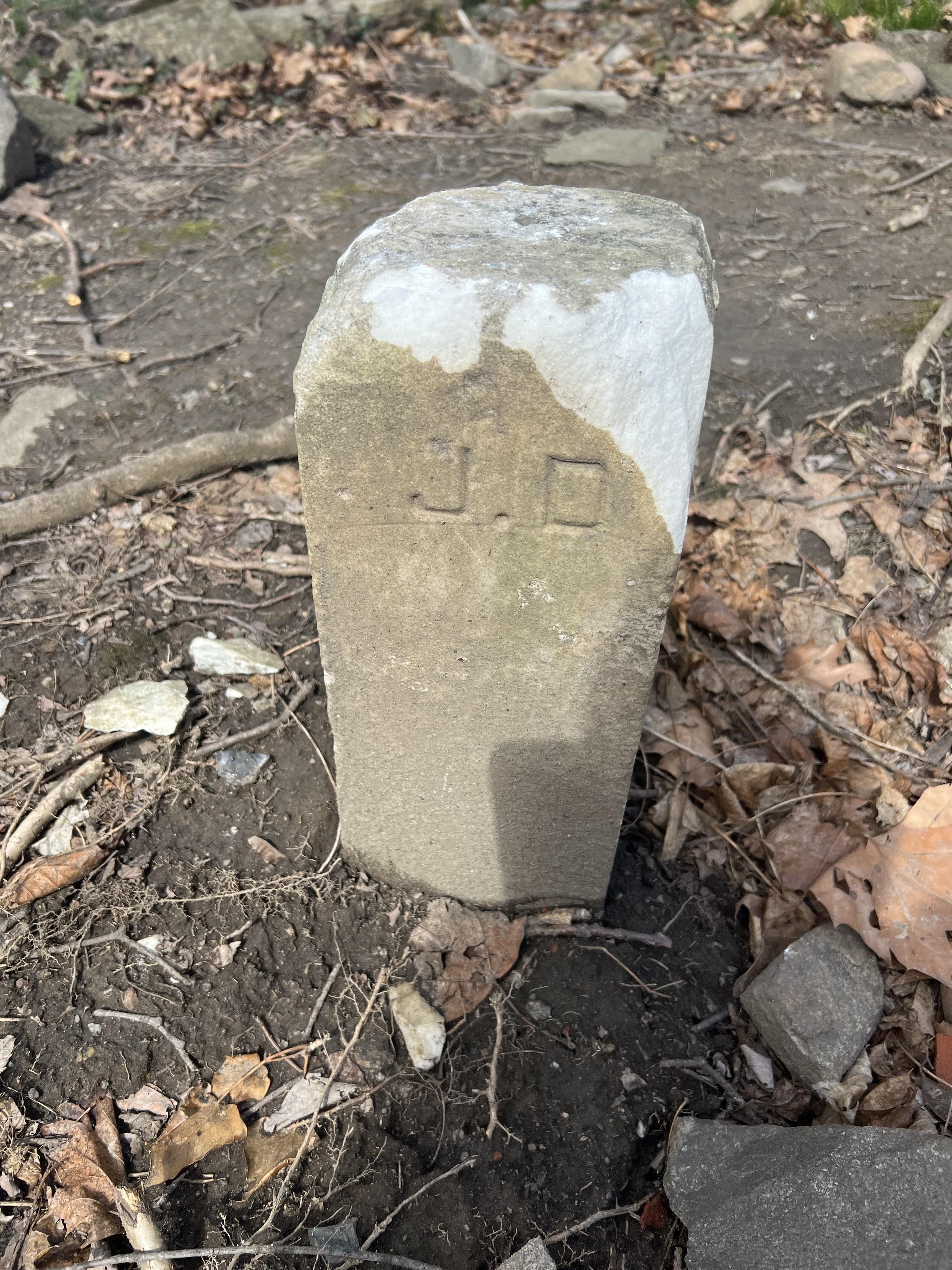
The lot marker could have been moved from the Lots at 236th or its possible the lots on west 232nd were assigned similar lot numbers.
Or the lot marker #54
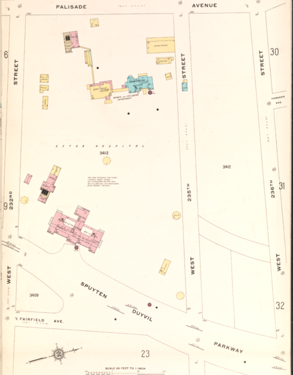
The size is unknown and the distance into the park from the road is unknown. and the distance from the front door of 740 W. 232nd is unknown also. but it was located on the Seton Hospital property. Map of 1914 is attached.
Well explained, I am agnostic when it comes to titles such as ” Lord” “Esq.” and especially a phD.
Nick, nice info on our Samuel Johnson, a “fife-major in the Revolutionary War”. Like the Riverdale connection to the Silversmith…… now where exactly was “Little Yonkers ” ??
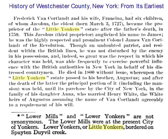
The Reverse side
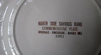
Not sure which plate they got, but this is one that was available in the 1950’s
Free nao of Bronx or copy of Declaration of Independence
Grand opening. I think it is about 1930s. I know what it is
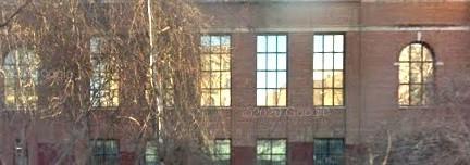 now… because if you view the current building from below, you can see the old windows.
I enjoyed how all the dots are connected. I collect Bronx Postcards and I was also outbid on Ebay. The postcard of
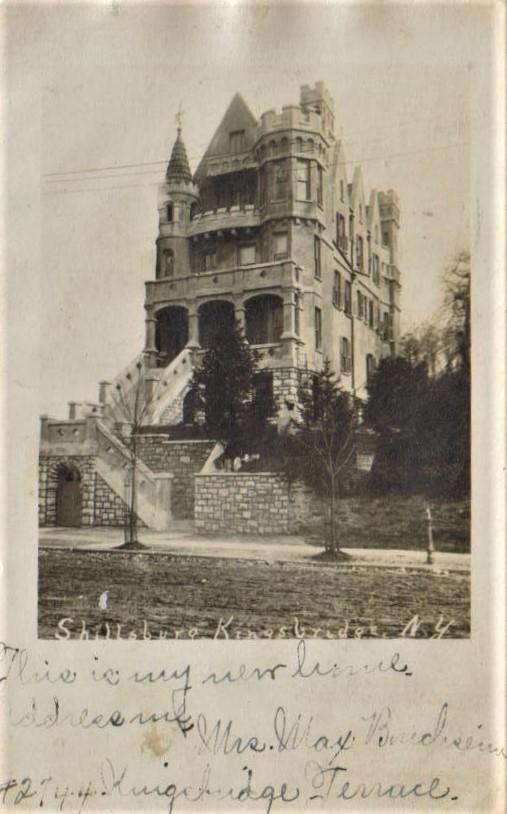 sold for over $100. I think this was from appx 1930.
I can agree that many people have used a hill to dump their waste, but their is no evidence that this occurred in Riverdale Park. ( pre- 1929 )
The Oyster shells were probably burned in the many Line Kilns used in Riverdale Park and not from Indian middens. The pottery was probably from home ruins. I just do not think it would make sense to dump waste down the hill.
Got it –
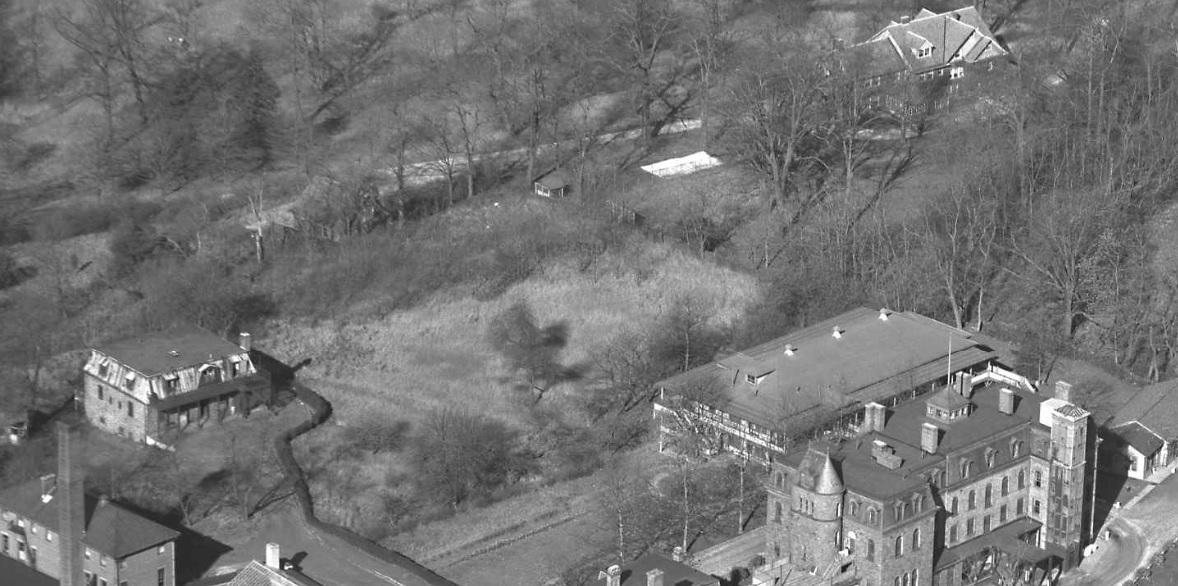
Nick, Thank you for that perfect clarification. PS is there a link to more 1948 photos ?
Peter, I forgot about these stone pillars. I do remember seeing many very old trees in the winter walking up the hill from
 .
.Going back to Seton Park, near the dog run, where the J. R. Whiting Estate was located. This map #34 from the 1893 Bromley shows Seton Hospital & the
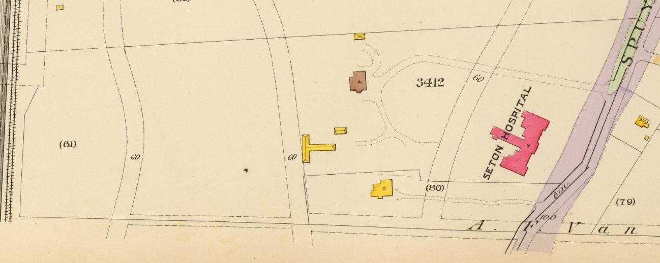 house
houseNick, It is a little confusing since there were three – four structures on the property. One was removed in the 1950’s, according to the 6 to celebrate article and one was expanded with a mansard roof. The current structure does not have either and appears to me to be an expanded stable. Yes, it is somewhat similar to Mansard roof image in the old photos you posted in an other link. The NYC landmark commission may have details when the landmarking of this structure failed. I just think the lodge in the art work is similar to Andrew Jackson Downing’s work is long gone.
A 1956 Bronx US Topo map seems to point to the JR Whiting Estate as being a little more west of the dog run, as compared to the 1873 map. I did not place that red house box on the map. It was there already.

-
AuthorPosts