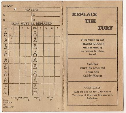
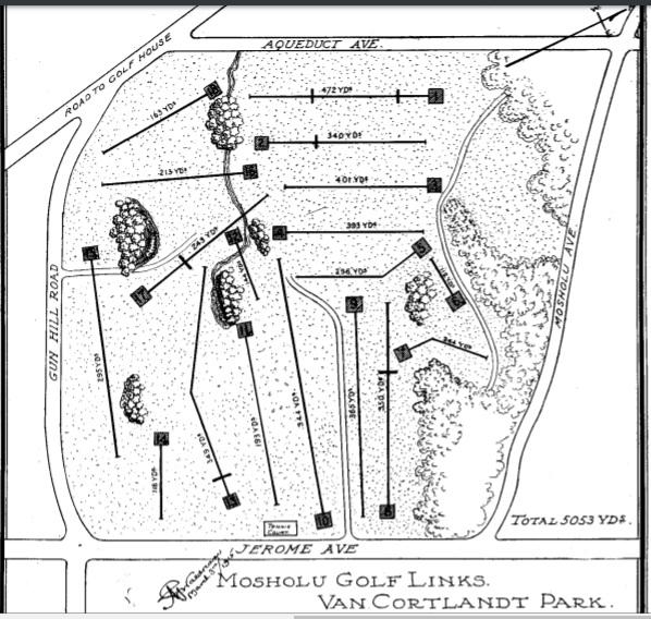
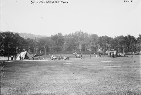
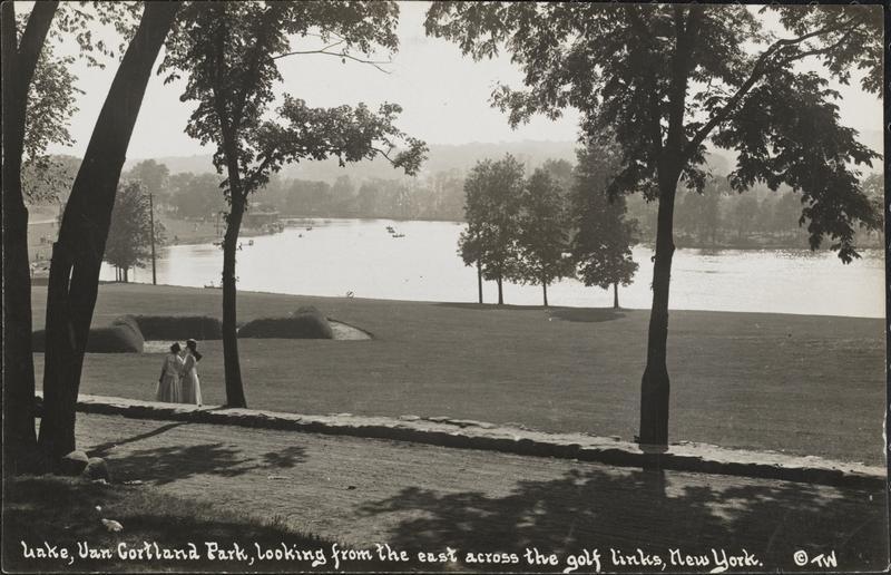
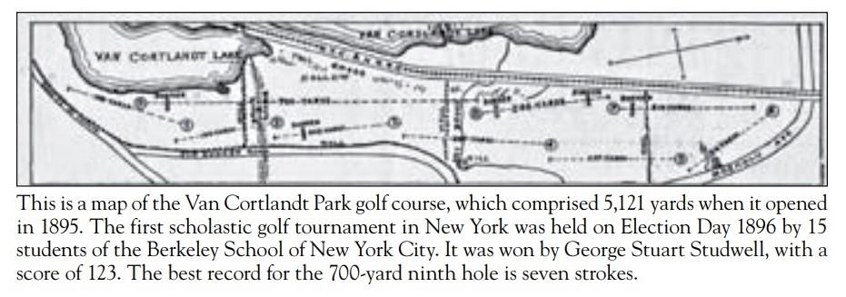
From the early 20th century onwards Van Cortlandt Park has had two golf courses, the Van Cortlandt course, and the Mosholu course. Between 1930 and 1955 there were substantial changes in the location/footprint of the two courses within the park, caused by the routing and inter-connection of three parkways (Mosholu, Henry Hudson and Saw Mill) across the park, and then by the construction of the Deegan Expressway across the park. Some areas that had previously been used for golf-related activities were fenced off and reserved for highways and roadside lands, and new areas were cleared and converted to golf course activities. Can anyone share maps, press coverage, golf brochures, posters or other materials that could enable mapping and re-mapping of the golf course lands from the early to the late 20th century? What were the ecological characteristics of the new areas taken for golf when portions of the old golf courses were taken for highways and fenced roadside lands?
Ray Bromley rbromley@albany.edu
.
 – “The Northwest Bronx” by Bill Twomey & Thomas X. Casey